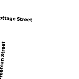
90 FREEMAN ST
Owner Information
MESSIER ADRIENNE
90 FREEMAN ST
N ATTLEBORO, MA 02763


Property Details
90 FREEMAN ST is classified as a Single Family Residential (Ranch).
The primary structure on this property was built in 1988. There are 3,624ft2 of built area within this property. There is 1,708ft2 of residential/living space within this property. This property is listed as having 6 rooms.
90 FREEMAN ST is valued at $436,600. The land is valued at $165,200 and the structures are valued at $269,300. There is an additional valuation of $2,100 on this property.
The most recent deed for 90 FREEMAN ST is recorded at the local registrar in Book 03967, Page 0337. 90 FREEMAN ST was last sold on Tuesday, November 15, 1988 for $0.
Assessment data from fiscal year 2022.
Flood Data
This property is partially within the AE Zone (within floodplain). Approximately 2.77 acres (80.33%) of the property is within this zone.
A portion of this property is denoted as being within a floodway.
This information is sourced from the FEMA National Flood Hazard Layer. See our full disclamer.
Broadband Internet Providers
| Provider | Type | Bandwidth (mbps) | |
|---|---|---|---|
| Comcast | Cable | 1000 | 35 |
| Viasat Inc | Satellite | 100 | 3 |
| VSAT Systems, LLC. | Satellite | 2 | 1 |
| Verizon New England Inc. | DSL | 5 | 0 |
| Verizon New England Inc. | Fiber | 940 | 880 |
| GCI Communication Corp. | Satellite | 0 | 0 |
| HughesNet | Satellite | 25 | 3 |
Broadband service provider data from December 2020.
Adjacent Properties
- 108 FREEMAN ST
Two-Family Residential owned by SERVANT CHRISTOPHER E + ELISE - 112 FREEMAN ST
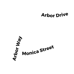
Single Family Residential owned by NEILSON THEODORE W + JUDITH M - 95 ARBOR WAY
Single Family Residential owned by MCCARTHY MICHAEL W + MARYLOU - 85 ARBOR WAY
Single Family Residential owned by CARDELLO MICHAEL A + ANNE V - 81 COTTAGE ST
Single Family Residential owned by MILLER RICHARD S + CINDY M - BIRCHWOOD DR
SELECTMEN-VACANT owned by INHABITANTS OF TOWN OF NORTH ATTLEBOROUG - 107 BIRCHWOOD DR
Single Family Residential owned by YAWN ASHLEY E + JUSTIN G - 114 FREEMAN ST REAR
Single Family Residential owned by HANSEN KENNETH - 115 ARBOR WAY
Single Family Residential owned by DOLD NEIL D + MARY JANE - 105 ARBOR WAY
Single Family Residential owned by STEINMETZ J SCOTT + PATRICIA A